
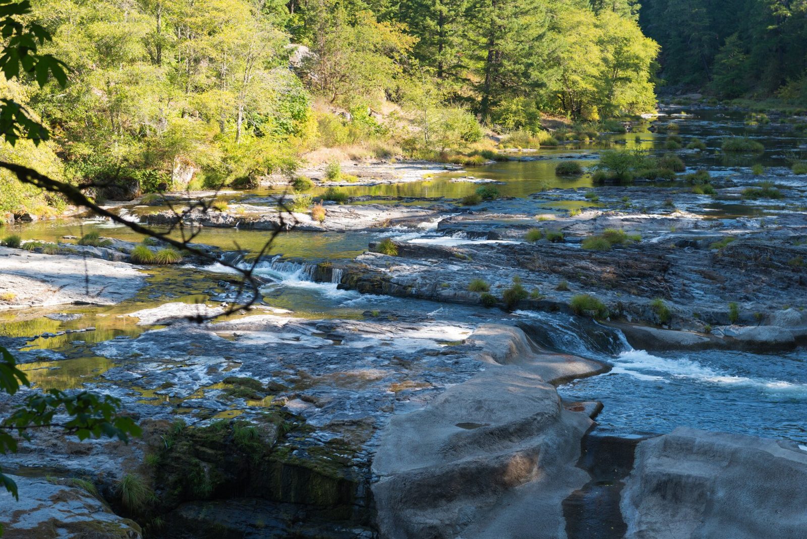
Steamboat Falls (Steamboat Creek)
UnverifiedBeginner (0-30 ft)43.37430, -122.64120
Confirmed by 0 jumpers
A 25-foot block falls on Steamboat Creek 6 miles above the North Umpqua, with rock slabs and deep pools below it for swimming and jumping. Quieter than Little Falls downstream and with a bigger wall.
Jumps at this location
Slab ledges
12 ft
Beginner (0-30 ft)
Rock beside the falls
25 ft
Beginner (0-30 ft)
Warnings
Crossing the creek at the top of the falls is extremely dangerous. Slick rock, poison oak on the trails, and no fishing (steelhead spawning).
Access
OR 138 about 39 miles east of Roseburg to Steamboat Creek Road (FR 38), then 6.2 miles to the falls day-use viewpoint or 5.6 miles and right on FR 3810 for the campground. Free.
Best conditions
August. Water is 66 degrees at best.
Submitted by SmartLeap Field Research