
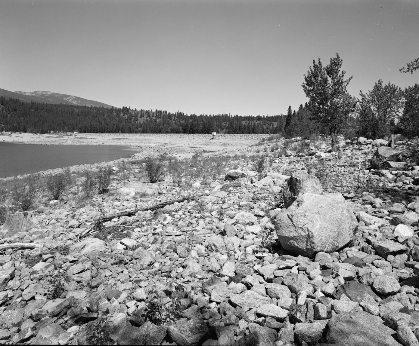
Lake Como west end cliffs
UnverifiedBeginner (0-30 ft)46.06250, -114.29150
Confirmed by 0 jumpers
A big Bitterroot Valley reservoir under the Como Peaks with granite ledges at the far west end, well past the swim beach and the crowds. The ledges nearest the trail are short, splashy jumps; swim across to the north side and you get roughly a 10 to 12 foot ledge most of the summer. Heights change through the season as irrigation water drops the lake.
Jumps at this location
Trail-side ledges
5 ft
Beginner (0-30 ft)
Far-side ledge
11 ft
Beginner (0-30 ft)
Warnings
Depth is not measured and changes with the reservoir level — swim the landing first every visit, especially in August and September when the lake is low. It is a 3-mile walk back out, so treat a twisted ankle as a serious problem.
Access
Lake Como Recreation Area, Bitterroot National Forest, about 4 miles west of Darby off US-93 (roughly an hour south of Missoula). Day-use fee at the developed area. The cliffs are at the far west end: take the Lake Como National Recreation Trail about 3 miles along the shore, and where a side trail branches right toward Elk Lake, cut left and drop down to the water.
Best conditions
July and August. The lake is drawn down for irrigation in late summer, which lowers the water under the ledges and raises the jump.