
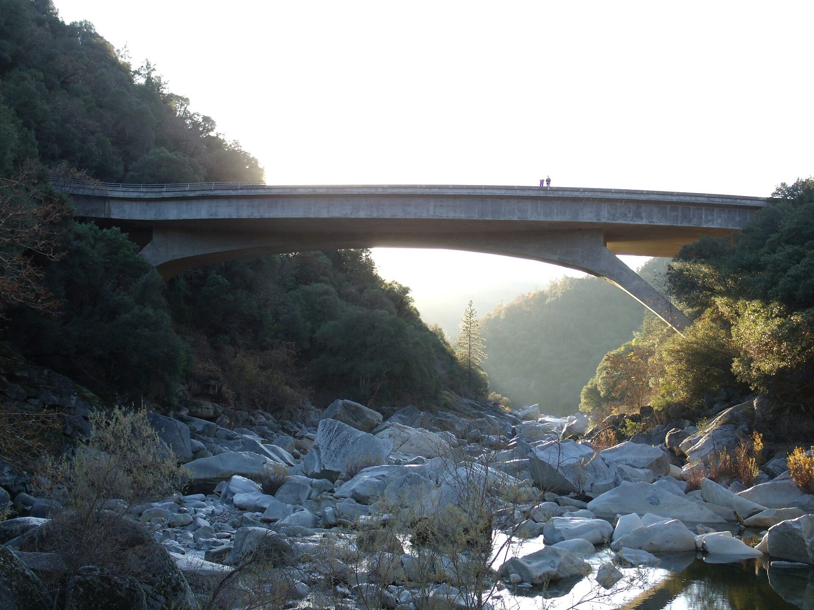
Hoyt's Crossing (South Yuba River)
UnverifiedBeginner (0-30 ft)39.30290, -121.08000
Confirmed by 0 jumpers
Water-sculpted granite perches above deep green pools on the South Yuba, a mile-plus upstream of the old Highway 49 bridge. The main jump rock past the beach has takeoffs at about 3, 8, 13 and 16 feet with a deep channel below.
Jumps at this location
Low ledge
8 ft
Beginner (0-30 ft)
Main rock
16 ft
Beginner (0-30 ft)
Warnings
Aim for the dark, deep water; rocks sit only 8 to 10 feet down to the left of the landing. Exit slightly downriver. The Yuba is faster here than at the state park beaches.
Access
South Yuba River State Park lot at the old Highway 49 bridge, 7 miles north of Nevada City (parking fee). Hoyt's Trail runs 1.2 miles upstream to the beach, then a narrower scramble 20 minutes further to the jump rocks. Clothing-optional beach.
Best conditions
Mid-June through October once the river drops. Do not swim in spring runoff.