
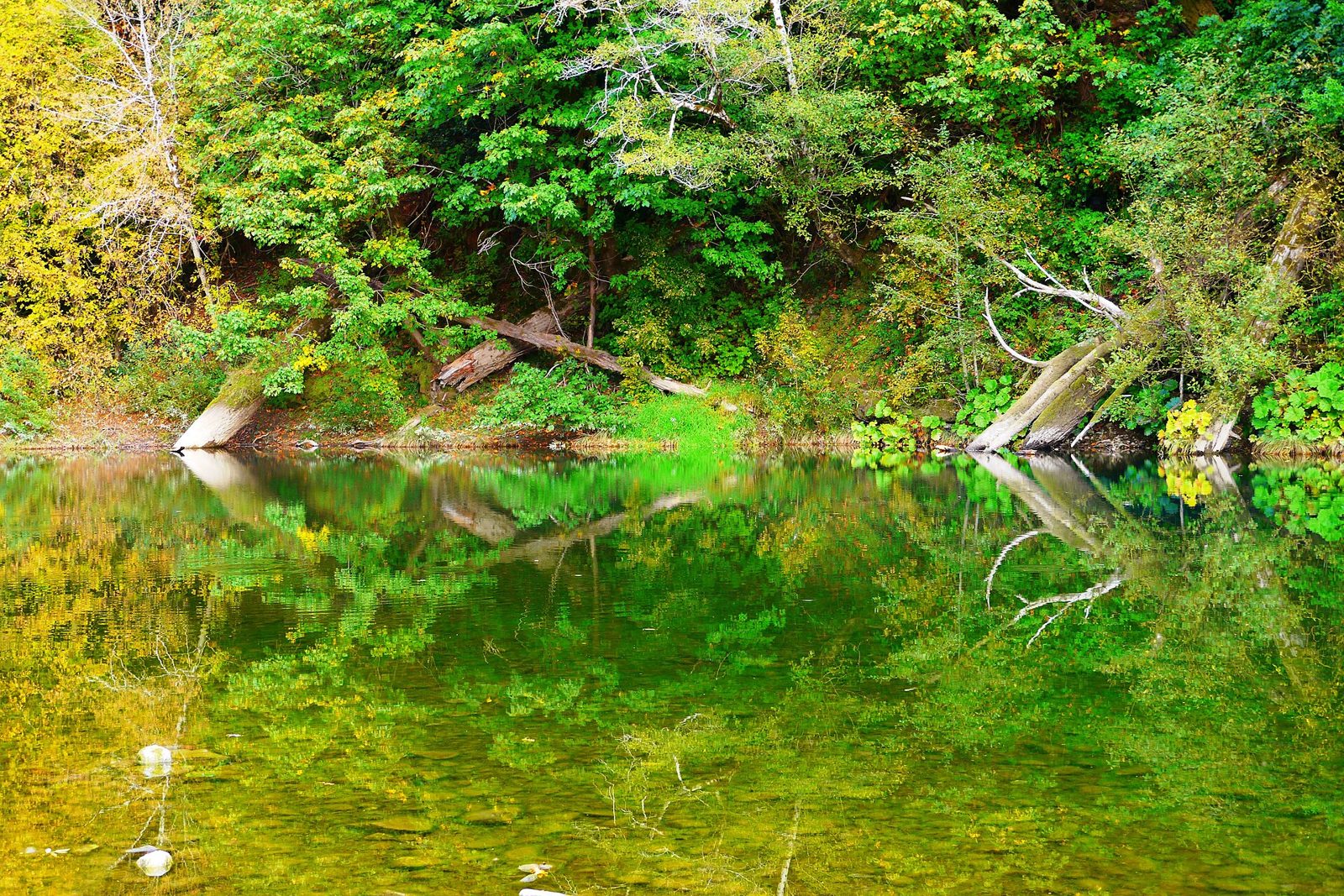
Elephant Rock (Chetco River)
UnverifiedIntermediate (31-60 ft)42.11255, -124.18759
Confirmed by 0 jumpers
A basalt formation jutting into the Chetco upriver from Brookings, with a deep pool at its base that is the cliff-jumping spot on the far south coast. Alfred A. Loeb State Park sits on the same stretch, with a myrtlewood grove, a sandy day-use beach and a rock in the middle of its swimming hole that people jump off when the river is up.
Jumps at this location
Elephant Rock
Height not listed
Intermediate (31-60 ft)
Mid-river rock (Loeb day use)
Height not listed
Intermediate (31-60 ft)
Warnings
Nothing here is measured, and the Chetco shifts its gravel every winter — check the pool under whichever rock you are using before you jump. The mid-river rock at Loeb only works when the water is high enough; in late summer it often is not. Winter and spring flows make the whole stretch dangerous.
Access
Alfred A. Loeb State Park, about 8 miles up North Bank Chetco River Road from Brookings. Day-use parking is free, with a campground and cabins on site. Elephant Rock is on the same stretch of river a short way along the road — the pin marks the park.
Best conditions
July through September. The Chetco runs clear and the south coast is warmest in late summer and early fall.