
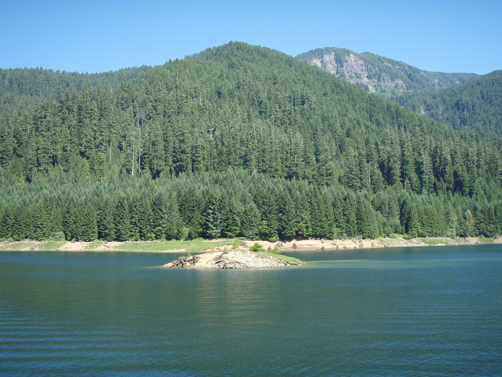
Cougar Reservoir cliffs
UnverifiedBeginner (0-30 ft)44.09700, -122.22900
Confirmed by 0 jumpers
A deep reservoir on the South Fork McKenzie 50 miles east of Eugene, with rock walls along the east-side road near the Slide Creek and Sunnyside campgrounds that teenagers have jumped for decades. Rope swings come and go; the cliffs run 15 to 30 feet depending on the pool level.
Jumps at this location
Lower rocks
15 ft
Beginner (0-30 ft)
Upper wall
30 ft
Beginner (0-30 ft)
Warnings
Depth under the walls drops with the reservoir; what was 30 feet of water in June can be rock by September. Cold, deep water.
Access
Aufderheide Drive (FR 19) south from OR 126 at Blue River, over Cougar Dam and along the east shore to Slide Creek and Sunnyside (Willamette NF day-use fee). Pullouts along the road above the cliffs; the Terwilliger hot springs are just up the road.
Best conditions
July and August when the reservoir is full. The Corps draws it down hard in late summer and fall.